

A Part 107 card and a full battery do not make you a FEMA asset. After a landfall, the ramp is wet, the restricted-airspace authorization you used last month is the wrong instrument, and the agency whose name is on the recovery trucks still does not own the aircraft overhead. FEMA hurricane drone response 2026 is a coordination problem: who is legal to fly, who is typed to be ordered, and who will accept the file after you land. The 2026 attempt to buy that capability as a standing services contract did not survive April.
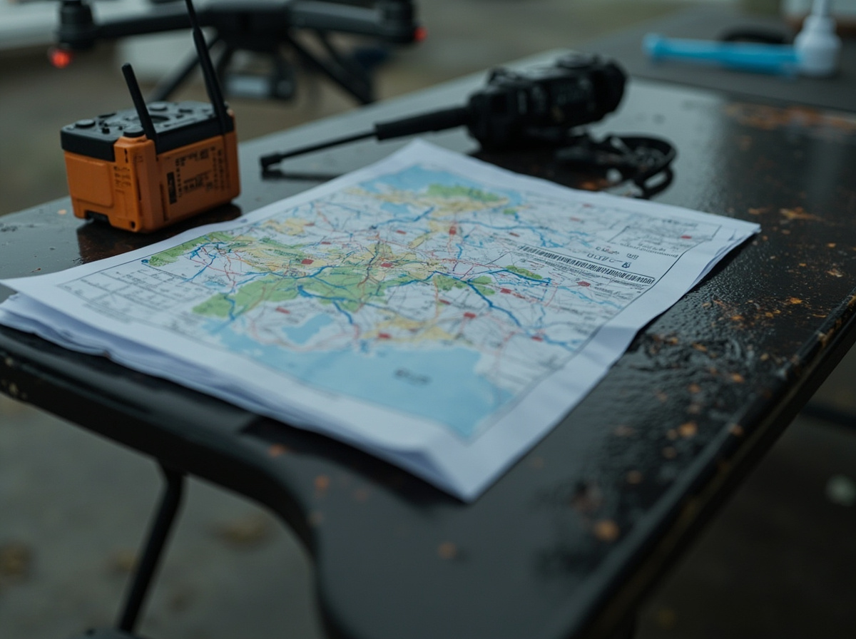
FEMA hurricane drone response 2026 still starts with someone else’s aircraft
The controlling privacy document is still DHS/FEMA/PIA-055, signed May 27, 2020. The Response Directorate does not own or operate UAS. It mission-assigns other federal agencies, with Civil Air Patrol and U.S. Customs and Border Protection named as examples, and it accepts imagery that state, local, tribal, and territorial partners already flew without FEMA direction. Authorized uses are damage extent, search and rescue, situational awareness, and route planning. Infrared is in scope for heat from people, animals, facilities, and power lines. FEMA wants the presence and location of a group so it can move water or a rescue team. It does not want an identity, and it will not request aircraft carrying facial recognition for that purpose.
Nothing published since has replaced that model with a FEMA-owned fleet. A pilot expecting a FEMA tail number, a FEMA remote ID broadcast, or a FEMA-issued aircraft log is reading the wrong org chart. The aircraft belongs to the mission-assigned agency or to the partner who already flew. FEMA’s product is the image after a privacy review, not the airframe.
The services buy that died on April 8
FEMA did try to stop borrowing aircraft. On March 25, 2026, at 12:05 p.m. EDT, it issued solicitation 70FB7026R00000004, Unmanned Aircraft Systems (UAS) Services. HigherGov’s copy describes a small-business set-aside under NAICS 336411, Aircraft Manufacturing, PSC 1550, Unmanned Aircraft, with a 1,500-employee size standard. Proposals were due April 24, 2026, at 12:00 p.m. ET. Questions were due April 2.
The reprinted work summary is a services buy, not a hardware purchase. Labor lines include a remote pilot in command, a visual observer, mission support, an operations project manager, an administration program manager, a maintenance technician, and a data analyst. The imagery line calls for multi-rotor and fixed-wing VTOL, thermal cameras, lidar, HD cameras, and a payload capacity not to exceed 500 pounds. That 500-pound figure is a contract ceiling in a commercial reprint. It is not a Part 107 weight limit, and it is not proof FEMA took delivery of a 500-pound aircraft.
It did not become a contract. HigherGov’s April 8, 2026, 2:14 p.m. EDT update reprints the notice: “Solicitation is Canceled.” Vendors are told to keep watching SAM.gov. I could not open the SAM.gov workspace page without a login, so the cancellation here rests on that reprint. A search found no later public award of 70FB7026R00000004. As of September 29, 2026, hurricane tasking still runs through mission assignment, mutual aid, and typed teams.
Order a typed team, not a brand
When a state emergency operations center orders drone support, the document that matters is the NIMS resource type. FEMA’s Resource Typing Library Tool lists the Small Unmanned Aircraft System Team as resource 2-508-1246. The sheet tells the requestor and the provider to agree on the payload before the team is ordered. Type 2 is photography and full-motion video. Type 1 adds specialized sensors, including photogrammetry, sonar, radar, infrared, lidar, hyperspectral, and infrared thermography. A roof-damage mosaic can be a Type 2 order. A lidar surface or a thermal pass on a substation is not. Ordering the cheaper type and hoping the pilot has a good camera wastes the first weather window. The lidar mapping piece is the equipment discussion. The typing sheet is the order form. It does not grant airspace.
Airspace is an SGI problem, not a FEMA radio call
The FAA’s emergency path is the Special Governmental Interest process, on the Emergency Situations page, last updated June 16, 2026. Eligible work includes firefighting, search and rescue, law enforcement, utility and critical-infrastructure restoration, damage assessments that support disaster-recovery insurance claims, and media coverage that gets crucial information to the public. A newsroom pilot is not automatically excluded. A sightseeing flight is not on the list. The newsroom UAV piece covers the editorial side. The SGI form is still an FAA waiver, not a press credential.
File it in the TSA/FAA Waiver and Airspace Access Program. The dropdown is “Part 107 Special Government Interest.” For a time-sensitive job, call the System Operations Support Center at 202-267-8276. An approval amends your existing certificate of waiver or authorization, or your remote pilot certificate, for that operation. A denial means you do not fly outside your existing COA or Part 107. You can amend the request. You cannot self-authorize because a county official asked.
A visual-line-of-sight SGI may be issued in minutes. A beyond-visual-line-of-sight approval through the same center typically requires a temporary flight restriction and longer processing. A dock, a remote pilot in another county, or a mapping run you cannot see is the slow lane. The BVLOS waiver is the standing-authority version of that problem. An SGI is not a shortcut around it. Night is not included unless the amendment says so. The 107.29 night waiver is the Part 107 path. The process is outlined in JO 7210.3EE.
A TFR is not a FEMA lock on the sky
The rumor after every landfall is that FEMA, or the FAA acting for FEMA, has closed the sky to anyone not on a federal contract. The FAA’s Operating Near Hurricane Recovery Efforts page, last updated August 12, 2026, rejects that reading. A temporary flight restriction does not ban aircraft, including drones, from disaster relief. Civilian and volunteer relief flights may enter if they are coordinated with emergency responders. The live list is tfr.faa.gov, and it moves. Yesterday’s screenshot is not a clearance.
An Airspace Coordination Area, issued at a state’s request, is an advisory about congestion. It does not restrict airspace. Prior permission required at an airport is not a closure. The same page answers two Helene-era rumors. FEMA is not controlling airports in western North Carolina. Airport managers operate the fields. FEMA staff on the ramp are staging supplies, not running the pattern. The FAA says it is not restricting Helene rescue access. It is coordinating because fixed-wing, helicopters, and drones share the same low altitude. Crewed aircraft have the right of way. Fly under Part 107 or the statutory requirements for public aircraft. A volunteer coordinator’s post is neither.
What actually flew after Helene and Debby
The aircraft that supported FEMA after Helene were not a matched pair of quadcopters. On October 22, 2024, DHS Science and Technology described a Navmar Applied Sciences Corporation Teros, owned and operated by Mississippi State University’s Raspet Flight Research Laboratory, feeding real-time video so FEMA teams could pick ingress and egress routes. The note now sits in the DHS archive, which warns that archived pages may not reflect current policy. The deployment it describes is still a primary account of that week. Mississippi State’s newsroom puts the same airplane in Georgia on September 29, 2024, under DHS S&T Project JUSTICE, with feeds to FEMA Region 4 and NOAA. The airframe figure that matters to a Part 107 pilot: more than 20 hours of endurance and a 44-foot wingspan. That is a large uncrewed aircraft on a runway, not a foldable quad on a tailgate.
The small-UAS record is in a June 2025 paper, arxiv 2506.15890. Florida State University flew for local and state agencies as part of the Florida State Emergency Response Team’s FL-UAS1 task force. Texas A&M ran a damage-assessment model on imagery after the fact. The flights were tasked by the agencies having jurisdiction. The model was opportunistic. It was not why the aircraft launched.
The sorties that reached the model are few, and the resolution swings hard. One WingtraOne sortie over Branford, Florida, on August 6, 2024, during Debby, delivered raw images at 4.51 centimeters per pixel and 14.10 gigabytes. One WingtraOne sortie over Mayo, Florida, on September 27, 2024, during Helene, delivered an orthomosaic at 1.65 centimeters per pixel and 7.01 gigabytes. The next day, Dekle Beach came back at 25.3 centimeters per pixel and 0.015 gigabytes. Same task force, same aircraft family, same storm week, a fifteen-fold swing in ground sample distance. A crewed sortie the Pennsylvania Emergency Management Agency ordered over Tioga County on August 16, 2024, produced 456 gigabytes, 436 orthophotos, and 136.5 gigapixels at 9 to 11 centimeters per pixel.
Wireless connectivity, not model accuracy, was the largest delay between landing and a labeled product. Spatial misalignment between the orthomosaic and the building footprints had to be fixed by hand or tolerated. Resolution was whatever the sortie could push, not a number chosen in the operations plan. A same-hour “AI damage assessment” product needs the GPU next to the crew. The stitch is still the orthomosaic software problem, and the control problem is the same one in the GCP versus no-GCP accuracy test. A hurricane does not suspend either.
The file FEMA will keep is redacted imagery
PIA-055 is also a handling rule. Mission-assignment imagery starts with the flying agency. When FEMA needs it fast, it can land on a Joint Field Office GIS server, a local network, or an approved cloud store. Before anything reaches the public side of the Department of the Interior GeoPlatform, Response Directorate staff review it for personally identifiable information. Allowed fixes are irreversible blur, blocking shapes, a permanent crop, or cutting the video frames that contain a face, a plate, or a name. The original file with the PII is then destroyed. FEMA says it will not use the imagery for benefit determinations or to take action against an individual. A live public feed is not a FEMA product. If a state or local partner collected the imagery outside a mission assignment, FEMA cannot fully audit that partner’s security. A card full of unreviewed faces does not become compliant because a specialist later asked for whatever you have.
Coastal debris has a second federal customer. NOAA’s Uncrewed Aircraft Systems Hurricane Response Job Aid, August 2021, is still the published playbook for small UAS on derelict vessels and hazardous-material debris. The Coast Guard may get National Pollution Funds Center money, or an Emergency Support Function 10 mission assignment from FEMA, to assess debris that can pollute. NOAA’s Emergency Response Division then maps it. A Part 107 pilot on that job is supporting an ESF-10 problem, not a generic FEMA drone program.
Brief the job aid, not a vendor wind rating. Small UAS means under 55 pounds including accessories. Consumer-grade endurance is usually at most 20 to 30 minutes per battery. Precipitation grounds the aircraft. High winds, gusts, and sudden speed changes are common on the coast and may make flight impossible. There is no single FEMA wind limit. The limit is the aircraft’s. A debris search is a waypoint pass at 100 to 200 feet above ground level, 3 to 10 miles per hour, gimbal from nadir to 45 degrees down, with image spacing of 35 feet at 100 feet AGL and 70 feet at 200 feet AGL. A closer look at a named vessel is a manual pass at 10 to 50 feet AGL, same speed band, gimbal from nadir to 30 degrees down. Those are mission targets, not an altitude waiver. Part 107’s 400-foot ceiling still applies unless your authorization says otherwise.
File names are part of the deliverable. NOAA wants underscores, not spaces. Raw mosaic frames use a pattern like RAW_yyyymmdd_img. The day’s mosaic is MSC_yyyymmdd_img. Oblique targets are TRGT_yyyymmdd_img, ideally with coordinates in the EXIF, zipped so DIVER can ingest the geotags. Tracklines are TRK_yyyymmdd_time_ln. An export named DJI_0042.JPG in a folder called “Final final” is not finished. Copy the card and keep the original. The flight-log preservation checklist is the companion step: the desk can blur a copy. It cannot recover a file you overwrote in the parking lot.
Stage this before the next landfall
Confirm the remote pilot certificate is current and the aircraft over 0.55 pounds is registered and marked. Write the rule you will fly under on the card: Part 107 inside existing limits, public aircraft if you actually qualify, or an SGI amendment you already hold. If the window is measured in minutes, the number is 202-267-8276, not a FEMA regional duty officer. Coordinate with the emergency operations center that owns the sector. A self-deploy because you can see the damage from the highway is how a helicopter and a quadcopter meet at 150 feet. For an ESF-10 debris task, fly the 100-to-200-foot search pass first and the 10-to-50-foot detail pass only on targets the desk named. Log altitude, speed, and ground sample distance. The Helene record shows those three numbers separate a usable mosaic from a 25-centimeter smear.
If you are waiting for a FEMA tasking order that names your company, you are waiting on a vehicle canceled on April 8, 2026. Get on the typed-team roster your state actually orders, or on the contract of an agency that already holds the mission assignment. Before the next advisory, print the SGI steps, save the SOSC number offline, and run one export using the flight-log preservation checklist. Then stop. FEMA hurricane drone response 2026 does not need another unpublished gallery. It needs a typed capability, a legal authorization, and a file a privacy review can release.
Frequently asked questions
Does FEMA own the drones used in hurricane response?
No. DHS/FEMA/PIA-055, dated May 27, 2020, states that the Response Directorate does not own or operate UAS. It mission-assigns other federal agencies or accepts imagery from state and local partners. Solicitation 70FB7026R00000004, which would have hired UAS services, was canceled on April 8, 2026.
Can a Part 107 pilot fly inside a hurricane TFR?
A TFR does not, by itself, ban relief flights. The FAA’s hurricane page, updated August 12, 2026, says relief operations, including drones, may enter if coordinated with emergency responders and flown under Part 107 or public-aircraft rules. Crewed aircraft have the right of way. A stale screenshot is not coordination.
What is an SGI, and when do you call instead of filing?
Special Governmental Interest is the FAA expedited waiver for listed emergency operations, including search and rescue, infrastructure restoration, disaster-recovery damage assessment, and certain media coverage. File it under “Part 107 Special Government Interest,” or call 202-267-8276 when the job is time-sensitive. Visual-line-of-sight approvals may come back in minutes. Beyond-visual-line-of-sight requests typically need a TFR and take longer. A denial means you stay inside Part 107 or your existing COA.
Which NIMS sUAS team type includes lidar?
On resource 2-508-1246, Type 2 is photography and full-motion video. Type 1 adds specialized sensors, including lidar and infrared thermography. The requestor and provider are supposed to agree on the payload before the team is ordered.
What altitude does NOAA specify for hurricane debris searches?
The August 2021 NOAA hurricane sUAS job aid sets a waypoint search at 100 to 200 feet above ground level and a closer manual pass at 10 to 50 feet above ground level, both at 3 to 10 miles per hour. Those are mission targets inside the rules you already hold. They are not an altitude waiver, and they do not override a manufacturer wind limit or a 20-to-30-minute consumer-grade battery.